
Drone surveying
Drone surveying and photogrammetry in Mauritius
Aerial mapping and stockpile assessment with photogrammetric drones, tied to ground control so that the results are measured data rather than just pictures.
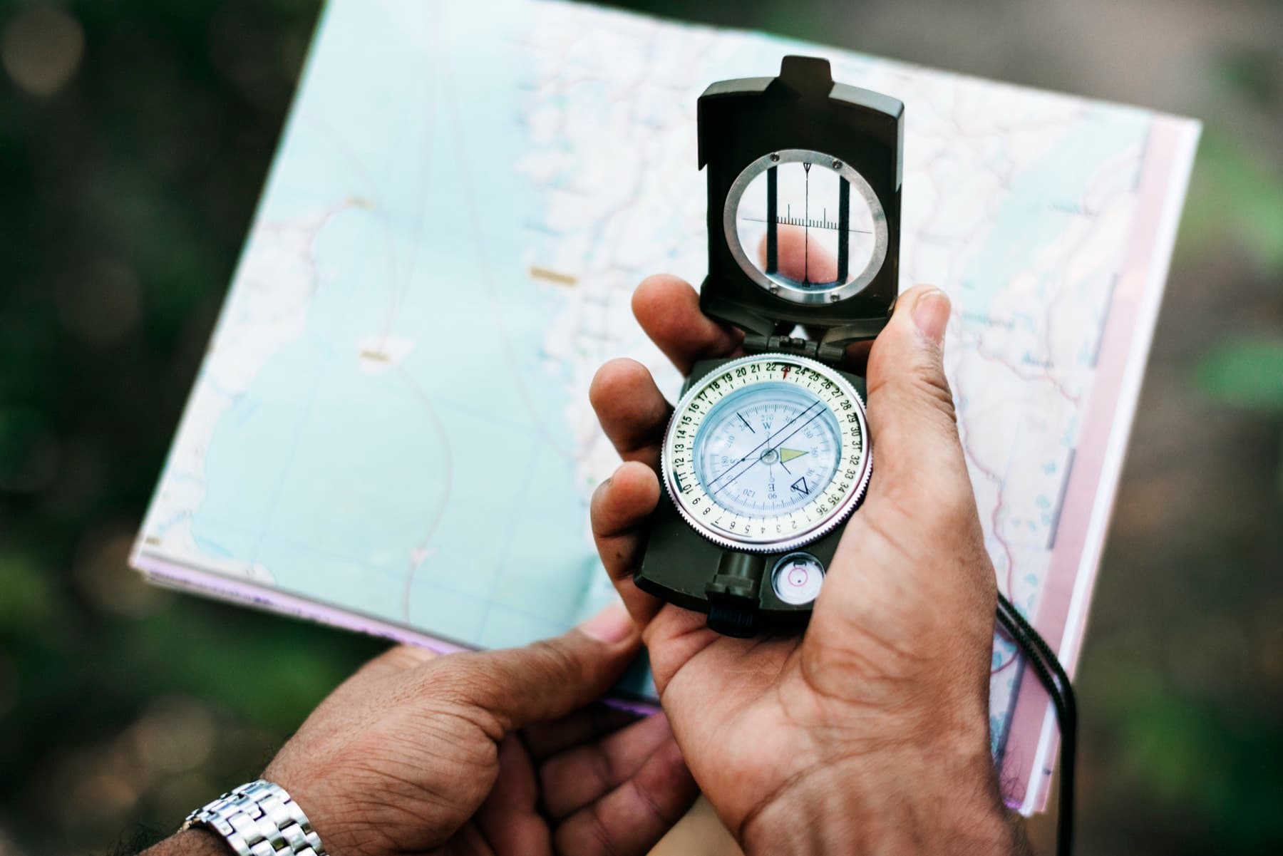
Every survey is tied to a known reference, not a floating local grid.
About drone surveying and photogrammetry
Drone photogrammetry captures hundreds of overlapping aerial photographs and processes them into orthophotos, surface models and contours. Tied to ground control points measured on site, the results are accurate, repeatable and quick to obtain over large or difficult terrain.
Saif trained in drone surveying and has flown aerial surveys for private companies, beaches and the port area. Between 2019 and 2022 he carried out stockpile assessments by drone for an aggregates producer at sites across the island.
Talk to Saif about your project
Send the site location and what you need the survey for. Scope and pricing are confirmed for each project.
What it covers
Drone survey services
Aerial topographic mapping
Orthophotos, digital surface models and contour plans for sites where walking every point would be slow or unsafe.
Stockpile volume assessment
Regular drone surveys of aggregate and material stockpiles to calculate volumes for stock control and reporting.
Beach and coastal aerial surveys
Aerial mapping of beaches and shorelines to complement ground and bathymetric surveys.
Progress and site records
Repeat flights that record how a site or stockpile changes over time.
Ground control and checks
Ground control points surveyed conventionally so that the drone data is properly georeferenced and its accuracy checked.
When it is useful
Typical situations
Quarries and aggregates
Stockpile volumes on a regular cycle without stopping operations.
Large or difficult sites
Estates, agricultural land, coastal strips and slopes where conventional survey alone would take much longer.
Developers and planners
Up-to-date orthophotos and surface models as a base for masterplanning.
Coastal monitoring
Aerial records of beach and shoreline condition alongside ground surveys.
What you receive
- Georeferenced orthophoto of the site
- Digital surface model and contour plan
- Stockpile volume report
- Survey plan combining drone and ground survey data where required
Deliverables and formats are agreed with you at scoping and may differ from this list depending on your project.
What to have ready
- 1Site location and the boundary of the area to be flown
- 2The purpose and the accuracy or level of detail you need
- 3Whether the flight needs to be repeated on a schedule
- 4Any site restrictions on flying that you are aware of
Missing something? Get in touch anyway. Saif will tell you what he can work with.
Process
How an engagement works
A clear sequence from first conversation to delivered plans. Scope and pricing are confirmed for each project, based on its requirements.
- 1
Discovery call
A short conversation on WhatsApp or by phone about your site, what the survey is for and when you need it.
- 2
Scope and quote
Saif confirms the scope, deliverables, timeline and price in writing, based on your project's requirements.
- 3
Fieldwork
Survey on site with the appropriate instruments, drone or vessel, with access arranged around you.
- 4
Plans and deliverables
Survey plans, sections, documentation or digital data delivered in agreed formats, with a walk-through of what they show.
Questions
Questions about drone surveying and photogrammetry
Is a drone survey as accurate as a ground survey?
For mapping and volumes, a drone survey tied to ground control gives results suitable for most planning and earthworks purposes. Boundary work and precise setting out are still carried out with ground instruments. Saif will recommend the right mix for your project.
Are there restrictions on flying drones in Mauritius?
Drone operations in Mauritius are subject to rules, and some areas require specific permission. Saif plans flights with those requirements in mind and will tell you if a site presents a constraint.
How often are stockpiles surveyed?
As often as your stock control needs, commonly monthly or quarterly. Saif has run a multi-year stockpile programme for an aggregates producer.
Can drone data be combined with a bathymetric survey?
Yes. Drone mapping covers the land and beach; bathymetry covers the bed below the water. Together they produce a complete surface of a coastal site.
Related services
Often commissioned alongside
- Land SurveyingCadastral, topographic, engineering and control surveys with survey plans for land projects across Mauritius.View
- Coastal SurveysShoreline and beach topography, tide and current measurement and marine hydrodynamic surveys for coastal sites.View
- Engineering and Construction SurveysControl, setting out and corridor surveys for roads, drainage, water networks, buildings and infrastructure.View
- Bathymetric SurveysBed mapping below the waterline for lagoons, port areas, reservoirs, dams and rivers.View

Get in touch
Your land, our priority.
Tell Saif about your site and what you need the survey for. He will come back to you with questions, a recommended approach and a written scope and quote.
Prefer to call or email? +230 5493 6973 · surveyor@saifmurtuza.com