
Cadastral surveying
Cadastral and boundary surveys in Mauritius
Knowing exactly where a plot begins and ends protects buyers, sellers, neighbours and builders. Saif carries out cadastral survey fieldwork and prepares the accompanying documentation for transactions, subdivisions and construction.
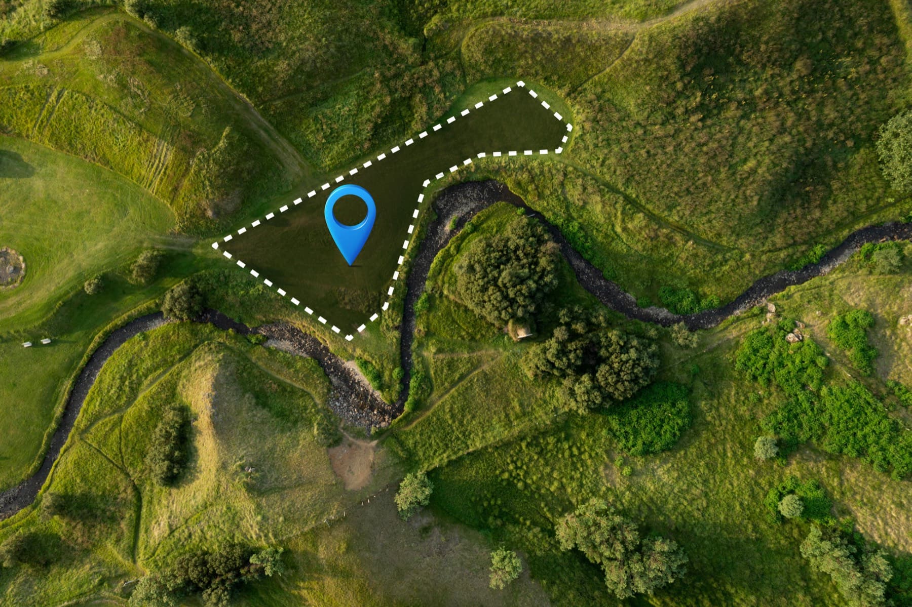
Boundaries re-established on the ground and drawn against the title plan.
About cadastral and boundary surveys
A cadastral survey establishes the position of a plot's legal boundaries on the ground, by reference to title documents, existing survey records and boundary marks found on site. It is the survey most people need when they buy, sell, divide, fence or build on land.
Saif's cadastral experience began with a trainee position at a Port Louis land surveying practice, where he carried out cadastral surveys, prepared Memorandum of Survey documents and conducted searches at the Registrar General Department. He later prepared État Descriptif de Division (EDD) documentation for subdivided properties and has fixed site boundaries on developments ranging from single plots to a seven-site housing programme.
Requirements for cadastral documents vary with the type of transaction. Saif will confirm with you, and with your notary where relevant, exactly what is needed before work begins.
Talk to Saif about your project
Send the site location and what you need the survey for. Scope and pricing are confirmed for each project.
What it covers
What a cadastral survey covers
Boundary identification
Locating the boundaries of a plot on the ground from the title deed and survey records, and identifying any discrepancy between the documents and the site.
Site boundary fixing
Placing or re-establishing boundary marks so that fences, walls and buildings are set out in the right place.
Memorandum of Survey documentation
Preparation of the survey documents that accompany land transactions, drawing on experience preparing Memorandum of Survey documents and conducting Registrar General searches.
État Descriptif de Division (EDD)
Preparation of EDD documentation describing the division of a property into lots and common parts, for subdivided and co-owned properties.
Acquisition and survey plans
Survey and acquisition plans for land required by infrastructure and public works, as prepared on slope-stabilisation and port projects.
Pre-purchase boundary checks
A check of the plot before you sign, so that what you are buying matches what is on the ground.
When it is useful
Typical situations
Before a sale or purchase
Confirm the plot's extent and identify encroachments before the deed is signed.
Before building a wall, fence or house
Set out from fixed boundary marks rather than from assumptions about where the line runs.
Dividing land into lots
Survey the division and prepare the plans and documentation the division needs.
Boundary questions with a neighbour
An independent survey of the boundary position provides measured evidence to discuss from.
Land acquisition for public works
Survey and acquisition plans for land required by infrastructure projects.
What you receive
- Boundary marks placed or re-established on site
- Cadastral survey plan showing boundaries, dimensions and areas
- Memorandum of Survey or EDD documentation, where agreed at scoping
- Acquisition plans for infrastructure projects
Deliverables and formats are agreed with you at scoping and may differ from this list depending on your project.
What to have ready
- 1Title deed and any existing survey plan or Memorandum of Survey
- 2Plot location, extent and access arrangements
- 3The purpose: sale, division, construction or a boundary question
- 4Names of adjoining owners if known, in case boundary marks need to be discussed
- 5Details of your notary if the survey supports a transaction
Missing something? Get in touch anyway. Saif will tell you what he can work with.
Process
How an engagement works
A clear sequence from first conversation to delivered plans. Scope and pricing are confirmed for each project, based on its requirements.
- 1
Discovery call
A short conversation on WhatsApp or by phone about your site, what the survey is for and when you need it.
- 2
Scope and quote
Saif confirms the scope, deliverables, timeline and price in writing, based on your project's requirements.
- 3
Fieldwork
Survey on site with the appropriate instruments, drone or vessel, with access arranged around you.
- 4
Plans and deliverables
Survey plans, sections, documentation or digital data delivered in agreed formats, with a walk-through of what they show.
Questions
Questions about cadastral and boundary surveys
What is a Memorandum of Survey?
A Memorandum of Survey is a survey document prepared by a land surveyor describing the boundaries, dimensions and area of a plot of land in Mauritius. It commonly accompanies property transactions. Your notary can advise whether one is needed for your transaction.
What is an État Descriptif de Division?
An État Descriptif de Division (EDD) describes how a property is divided into individual lots and common parts, for example in a subdivision or a co-owned building. Saif has prepared EDD documentation for subdivided properties.
My neighbour's wall seems to be on my land. Can a survey settle this?
A boundary survey establishes where the boundary lies according to the title documents and survey records, and shows the wall's position relative to it. That gives both parties measured facts to work from. Resolving a dispute is a matter between the owners, their notaries and, if necessary, the courts; the survey supplies the evidence.
How much does a cadastral survey cost?
Cost depends on the plot size, the quality of existing records, site conditions and the documents required. Saif discusses scope and pricing with you once he understands your requirements, and confirms them in writing before starting.
Do I need to be present during the survey?
It is helpful but not essential. You or a representative should arrange access, and Saif will let you know if there is anything on site he needs shown to him.
Related services
Often commissioned alongside
- Land SurveyingCadastral, topographic, engineering and control surveys with survey plans for land projects across Mauritius.View
- Engineering and Construction SurveysControl, setting out and corridor surveys for roads, drainage, water networks, buildings and infrastructure.View
- Topographic SurveysDetailed site surveys, levels and contour plans that give architects and engineers an accurate picture of the ground.View
- Survey Plans and DraftingSurvey plans, contour plans, sections and acquisition plans prepared in AutoCAD and Civil 3D.View

Get in touch
Your land, our priority.
Tell Saif about your site and what you need the survey for. He will come back to you with questions, a recommended approach and a written scope and quote.
Prefer to call or email? +230 5493 6973 · surveyor@saifmurtuza.com