
Coastal surveying in Mauritius
Coastal surveying for shorelines, lagoons and marine works
Beach and shoreline topography, bathymetry, tide and current measurement and marine hydrodynamic surveys, carried out by a surveyor with coastal and port project experience in Mauritius and Seychelles.
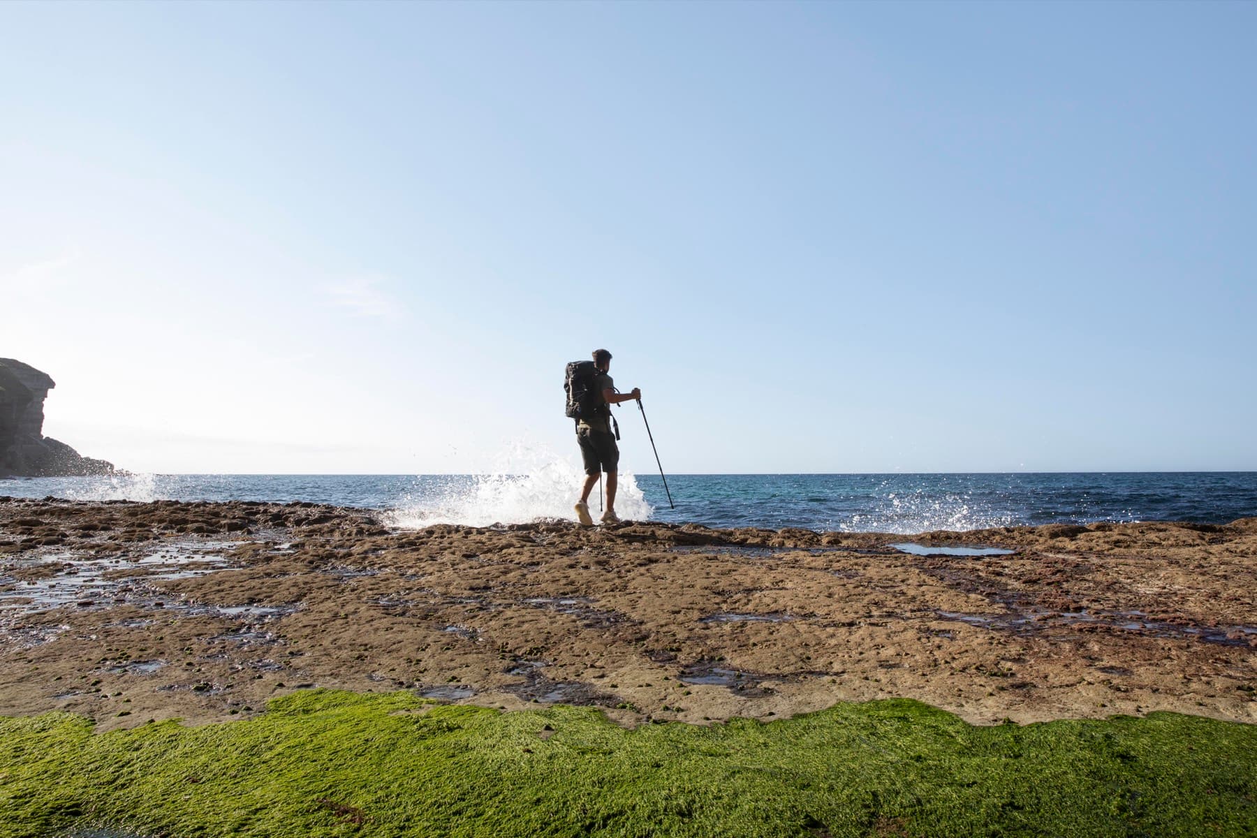
Shoreline work between the high-water mark and the reef.
About coastal surveying
Coastal sites change. Beaches move with the seasons, lagoon beds shift, and structures near the water need to be planned with an understanding of levels both above and below the waterline. Coastal surveying brings land and marine measurement together so that owners, engineers and consultants can plan, design and monitor with confidence.
Saif has carried out coastal survey work for hotel properties, port areas and consulting engineers, including repeat surveys of the same shoreline over several years, port extension survey work in Seychelles and combined topographic and bathymetric surveys along the north-west coast of Mauritius.
Talk to Saif about your project
Send the site location and what you need the survey for. Scope and pricing are confirmed for each project.
What it covers
Coastal surveying services
Shoreline and beach topography
Detailed topographic surveys of beaches, dunes, sea walls, jetties and the land immediately behind the shore, referenced to established control so that surveys can be compared over time.
Bathymetric surveys
Mapping of the lagoon or sea bed adjoining the site, integrated with the land survey to produce a continuous surface from land to water.
More about bathymetric surveysTide and current surveys
Measurement of tidal levels and currents at the site to support coastal design, hydrodynamic modelling and environmental studies.
Marine hydrodynamic surveys
Survey support for studies of water movement in lagoons and near-shore areas, undertaken with the consultants leading the study.
Port and marine infrastructure surveys
Topographic and bathymetric surveys of port areas and marine works, together with survey and acquisition plans.
Coastal monitoring over time
Repeat surveys on an agreed schedule so that changes in beach profile and lagoon bed can be tracked and reported.
When it is useful
Typical situations
Hotels and beachfront properties
Understand how your beach and lagoon are changing, and plan beach management, sea walls or jetties on measured data.
Coastal engineering and design
Combined topographic and bathymetric surfaces with tide and current data for consultants designing coastal protection and marine structures.
Ports and marine works
Survey works for port areas and extensions, including bathymetry and acquisition plans.
Environmental and natural-asset studies
Topographic survey of mangroves, wetlands and shoreline features in support of environmental consultants.
Planning near the shoreline
Accurate levels and shoreline position for developments close to the coast.
What you receive
- Topographic survey plan of the shore and adjoining land
- Bathymetric chart or combined land-and-sea surface
- Tide and current data in agreed formats
- Cross-sections and beach profiles, including comparison with earlier surveys where available
- Survey and acquisition plans for port and marine works
Deliverables and formats are agreed with you at scoping and may differ from this list depending on your project.
What to have ready
- 1The site location and the extent of shoreline or lagoon to be covered
- 2The purpose of the survey: design, monitoring, environmental study or marine works
- 3Any previous surveys, charts or consultant briefs
- 4Whether the survey needs to be repeated on a schedule
- 5Access arrangements for beach and water areas
Missing something? Get in touch anyway. Saif will tell you what he can work with.
Process
How an engagement works
A clear sequence from first conversation to delivered plans. Scope and pricing are confirmed for each project, based on its requirements.
- 1
Discovery call
A short conversation on WhatsApp or by phone about your site, what the survey is for and when you need it.
- 2
Scope and quote
Saif confirms the scope, deliverables, timeline and price in writing, based on your project's requirements.
- 3
Fieldwork
Survey on site with the appropriate instruments, drone or vessel, with access arranged around you.
- 4
Plans and deliverables
Survey plans, sections, documentation or digital data delivered in agreed formats, with a walk-through of what they show.
Questions
Questions about coastal surveying
What does a coastal survey include?
It depends on the site and purpose. A typical coastal survey combines a topographic survey of the beach and shore with a bathymetric survey of the adjoining lagoon or sea bed. Tide and current measurement can be added where the design or study calls for it.
How often should a beach be surveyed?
For monitoring, surveys are usually repeated on a regular cycle so that seasonal and longer-term changes can be compared. Saif has carried out ongoing coastal survey programmes for hotel properties and can suggest a schedule that suits your site.
Can you work with our coastal engineer or environmental consultant?
Yes. Much of Saif's coastal work is delivered to consulting engineers and environmental consultants, in the formats and reference systems they specify.
Do you carry out surveys in Seychelles?
Saif participated in the Seychelles Port Extension survey and has worked on projects across Mauritius and Seychelles. Get in touch to discuss requirements outside Mauritius.
Do you provide environmental approvals or permits?
No. Saif provides survey measurement and plans. Approvals, permits and environmental assessments are handled by the relevant consultants and authorities; his survey data supports their work.
Related services
Often commissioned alongside
- Bathymetric SurveysBed mapping below the waterline for lagoons, port areas, reservoirs, dams and rivers.View
- Drone Surveying and PhotogrammetryAerial mapping and stockpile volume assessment using photogrammetric drones tied to ground control.View
- Engineering and Construction SurveysControl, setting out and corridor surveys for roads, drainage, water networks, buildings and infrastructure.View
- Land SurveyingCadastral, topographic, engineering and control surveys with survey plans for land projects across Mauritius.View

Get in touch
Your land, our priority.
Tell Saif about your site and what you need the survey for. He will come back to you with questions, a recommended approach and a written scope and quote.
Prefer to call or email? +230 5493 6973 · surveyor@saifmurtuza.com