
About
Saif Murtuza, Qualified Land and Coastal Surveyor
A Mauritian land surveyor with a BSc in Geomatics, working across land, coast and sea since 2014.

Profile
Saïf Aboobakar Murtuza, known professionally as Saif Murtuza, is a Qualified Land Surveyor based in Mauritius. He holds a Bachelor of Science in Geomatics from the University of Mauritius, together with a Diploma in Land Surveying and a Certificate in Open-Source Geospatial Tools from the same university.
Since 2014 he has worked on cadastral, topographic, bathymetric, geodetic, coastal, engineering and drone surveys across Mauritius and Seychelles, gaining experience on infrastructure, marine, coastal and engineering projects for private clients, consulting engineers, utilities and public bodies.
He is proficient in modern surveying technologies, photogrammetry, AutoCAD drafting, Civil 3D and open-source geospatial tools, and approaches every survey with a strong focus on accuracy and quality project delivery.
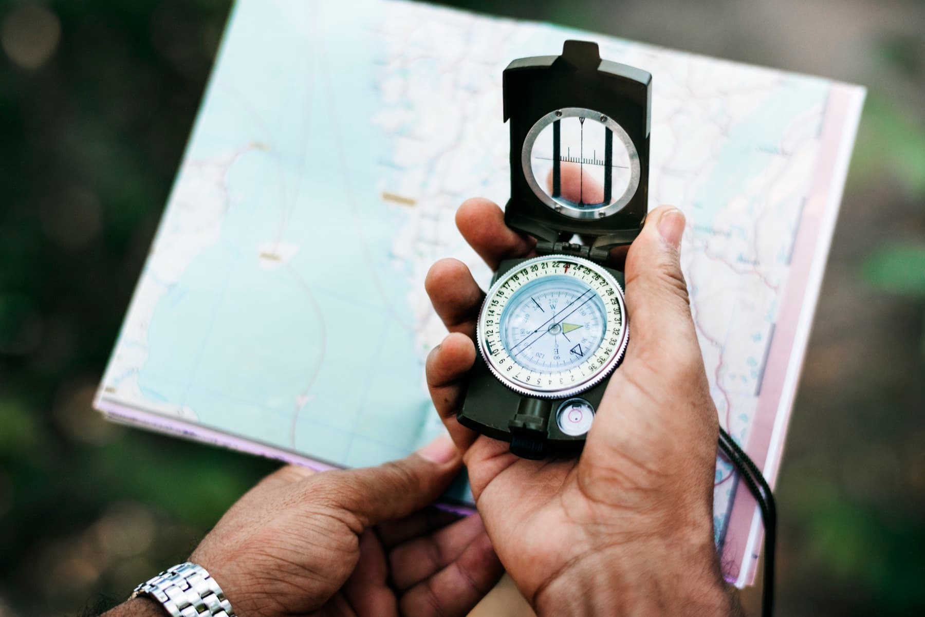
Every survey is tied to a known reference, not a floating local grid.
How Saif works
Measured, explained, delivered
The working habits behind every survey, whether it is a single plot or a port.
- 01
Accuracy first
Surveys are tied to established control and plans are drafted so that the people relying on them, from architects to port engineers, can trust what they show.
- 02
Clear scope before work starts
Every project begins with a conversation about what the survey is for. Scope, deliverables, timeline and price are confirmed in writing before fieldwork is booked.
- 03
Plain communication
Saif works in English and French and keeps clients informed by WhatsApp from first contact to delivery, explaining what the plans show and what they mean for the project.
- 04
Part of your team
Much of his work is delivered alongside consulting engineers, architects, environmental consultants and notaries, in the formats and reference systems they specify.
Experience
Where the experience comes from
Reservoirs and lagoons, housing sites and power lines, ports in two countries. The Surveyor page tells the story through the projects and places behind it.
- In the field since
- 2014
- Projects listed
- 16
- Countries
- 2
- Survey disciplines
- 7
Technical skills
Tools and disciplines
- Cadastral surveying
- Topographic surveying
- Bathymetric surveying
- Coastal and marine surveys
- Geodetic surveys
- Engineering surveys
- Drone surveying and photogrammetry
- AutoCAD drafting
- Civil 3D
- Open-source geospatial tools
- État Descriptif de Division (EDD) preparation
- Memorandum of Survey preparation

Get in touch
Let’s talk about your site.
Tell Saif about your site and what you need the survey for. He will come back to you with questions, a recommended approach and a written scope and quote.
Prefer to call or email? +230 5493 6973 · surveyor@saifmurtuza.com