
Services
Surveying services in Mauritius
Everything Saif offers, grouped by where the work happens. Each service is described in plain terms, with a fuller page wherever there is more to explain. Scope and pricing are confirmed for each project.
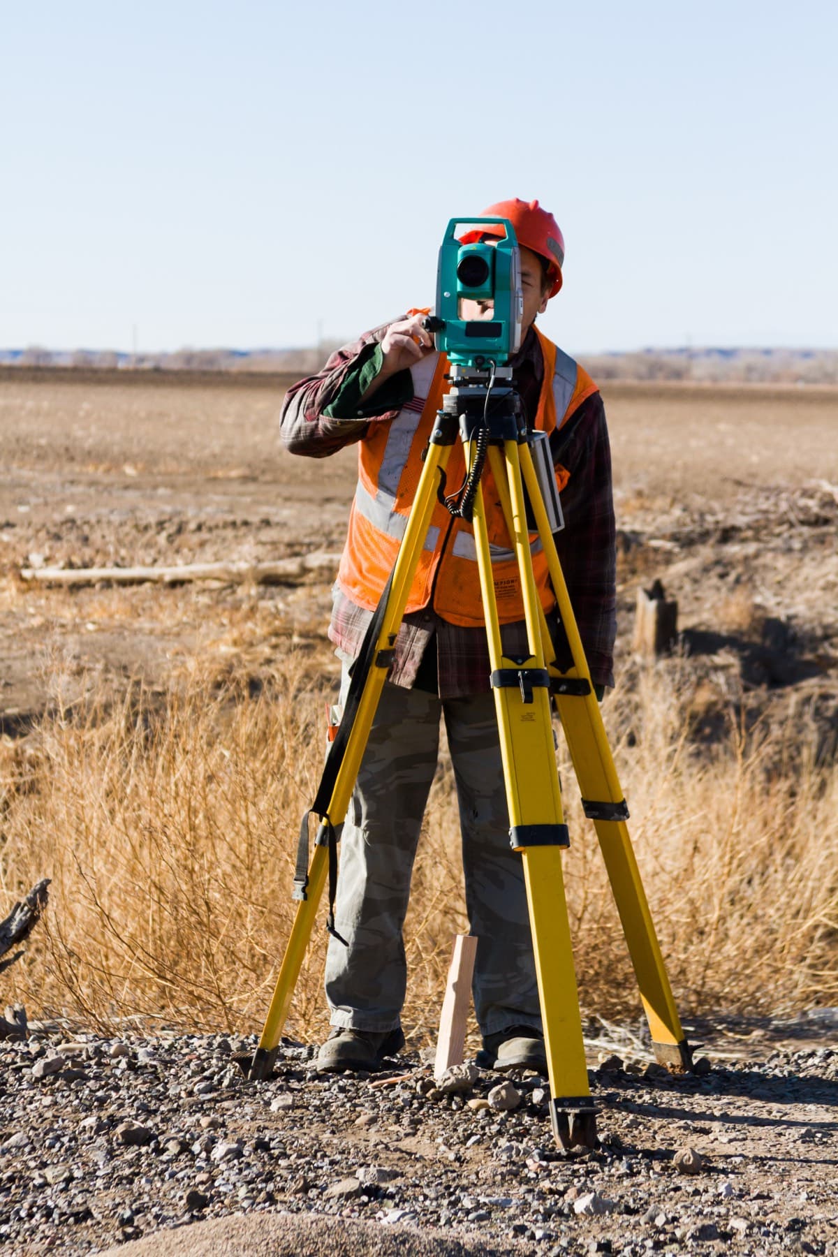
On land
Land surveying services
Boundaries, levels, control and setting out for plots, buildings, subdivisions, roads, utilities and reservoirs.
Cadastral and Boundary Surveys
Boundary identification, site boundary fixing and the survey documentation that accompanies land transactions and subdivisions.
About cadastral and boundary surveysTopographic Surveys
Detailed site surveys, levels and contour plans that give architects and engineers an accurate picture of the ground.
About topographic surveysEngineering and Construction Surveys
Control, setting out and corridor surveys for roads, drainage, water networks, buildings and infrastructure.
About engineering and construction surveysGeodetic and Control Surveys
Survey stations, benchmarks and control networks that every later measurement on a project depends on.
About geodetic and control surveysDrone Surveying and Photogrammetry
Aerial mapping and stockpile volume assessment using photogrammetric drones tied to ground control.
About drone surveying and photogrammetrySurvey Plans and Drafting
Survey plans, contour plans, sections and acquisition plans prepared in AutoCAD and Civil 3D.
About survey plans and drafting
On the coast
Coastal surveying services
Measurement at and below the waterline: shorelines, lagoons, ports, reservoirs and the tides and currents that shape them.
Coastal Surveys
Shoreline and beach topography, tide and current measurement and marine hydrodynamic surveys for coastal sites.
About coastal surveysBathymetric Surveys
Bed mapping below the waterline for lagoons, port areas, reservoirs, dams and rivers.
About bathymetric surveys
Which survey do I need?
Start from your situation
A rough guide. Many projects need more than one type of survey, and Saif will recommend a combination once he understands the site.
- “I am buying, selling or dividing land”Cadastral and boundary surveyRead more
- “My architect needs levels and site features”Topographic surveyRead more
- “We are about to start construction”Engineering and construction surveyRead more
- “My site is on the beach or lagoon”Coastal survey with bathymetryRead more
- “We need depths of a reservoir, port or river”Bathymetric surveyRead more
- “The site is large, or we need stockpile volumes”Drone survey and photogrammetryRead more
Process
How an engagement works
A clear sequence from first conversation to delivered plans. Scope and pricing are confirmed for each project, based on its requirements.
- 1
Discovery call
A short conversation on WhatsApp or by phone about your site, what the survey is for and when you need it.
- 2
Scope and quote
Saif confirms the scope, deliverables, timeline and price in writing, based on your project's requirements.
- 3
Fieldwork
Survey on site with the appropriate instruments, drone or vessel, with access arranged around you.
- 4
Plans and deliverables
Survey plans, sections, documentation or digital data delivered in agreed formats, with a walk-through of what they show.

Get in touch
Your land, our priority.
Tell Saif about your site and what you need the survey for. He will come back to you with questions, a recommended approach and a written scope and quote.
Prefer to call or email? +230 5493 6973 · surveyor@saifmurtuza.com