
Bathymetric surveying
Bathymetric surveys of lagoons, ports, reservoirs and rivers
Bed-level mapping below the waterline, integrated with the land survey above it, for coastal design, port works, reservoir management and drainage studies across Mauritius.
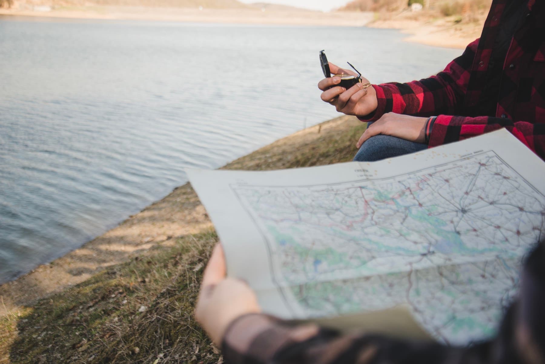
Planning survey lines before going out on the water.
About bathymetric surveys
A bathymetric survey measures depths and maps the shape of the bed beneath a body of water. Combined with a topographic survey of the surrounding land, it produces a continuous surface from dry land to the deepest point, which engineers use for design, volume calculation and modelling.
Saif has carried out bathymetric surveys of lagoons and beaches for hotel properties, of the Mauritius port area, of reservoirs including Tamarind Falls, and along the coast from Pointe aux Piments to Pointe aux Canonniers for consulting engineers. He also contributed bathymetric survey work to the Seychelles Port Extension project.
Talk to Saif about your project
Send the site location and what you need the survey for. Scope and pricing are confirmed for each project.
What it covers
Bathymetric survey services
Lagoon and near-shore bathymetry
Depth mapping of lagoons and near-shore areas adjoining beaches, hotels and coastal developments.
Port and harbour bathymetry
Survey of port areas and marine works, including combined topographic and bathymetric plans.
Reservoir and dam bathymetry
Bed mapping of reservoirs to support capacity assessment, enlargement studies and dam works.
River surveys
Surveys of rivers and canals, including longitudinal sections, for hydraulic modelling and drainage master planning.
Combined land and water surfaces
Integration of topographic and bathymetric data into a single surface and contour plan.
Tide and current measurement
Tide and current surveys alongside bathymetry where the study requires them.
More about tide and current measurement
When it is useful
Typical situations
Coastal protection and marine structures
Design surfaces for sea walls, jetties, groynes and other near-shore works.
Reservoir capacity and enlargement
Bed mapping that supports storage calculations and dam or spillway works.
Port planning and marine works
Bathymetry and plans for port areas and extensions.
Drainage and flood modelling
River and canal surveys as input to hydraulic models and drainage master plans.
Monitoring change over time
Repeat surveys to track how a lagoon, river or reservoir bed is changing.
What you receive
- Bathymetric plan with depths reduced to an agreed datum
- Combined topographic and bathymetric contour plan
- Cross-sections and longitudinal sections
- Digital surface data in agreed formats for modelling
Deliverables and formats are agreed with you at scoping and may differ from this list depending on your project.
What to have ready
- 1The extent of the water area to be surveyed
- 2The datum or reference level the results should relate to
- 3The purpose: design, capacity, modelling or monitoring, and any consultant's specification
- 4Access for launching a survey vessel and any site permissions you hold
Missing something? Get in touch anyway. Saif will tell you what he can work with.
Process
How an engagement works
A clear sequence from first conversation to delivered plans. Scope and pricing are confirmed for each project, based on its requirements.
- 1
Discovery call
A short conversation on WhatsApp or by phone about your site, what the survey is for and when you need it.
- 2
Scope and quote
Saif confirms the scope, deliverables, timeline and price in writing, based on your project's requirements.
- 3
Fieldwork
Survey on site with the appropriate instruments, drone or vessel, with access arranged around you.
- 4
Plans and deliverables
Survey plans, sections, documentation or digital data delivered in agreed formats, with a walk-through of what they show.
Questions
Questions about bathymetric surveys
What is a bathymetric survey used for?
Designing coastal and marine structures, assessing reservoir capacity, planning port works, modelling rivers and drainage, and monitoring how a lagoon or river bed changes over time.
Can the bathymetry be combined with a land survey?
Yes. Combining the two is standard practice on Saif's coastal and reservoir projects and gives a single, continuous surface from land to water.
What datum are depths referred to?
Depths are reduced to the datum agreed for the project, for example a local tidal datum or the reference level used by your design team. Confirm this at scoping so that results are directly usable.
Do you survey inland reservoirs as well as the sea?
Yes. Saif has surveyed reservoirs including Tamarind Falls and La Nicolière as well as lagoons and the port area.
Related services
Often commissioned alongside
- Coastal SurveysShoreline and beach topography, tide and current measurement and marine hydrodynamic surveys for coastal sites.View
- Engineering and Construction SurveysControl, setting out and corridor surveys for roads, drainage, water networks, buildings and infrastructure.View
- Drone Surveying and PhotogrammetryAerial mapping and stockpile volume assessment using photogrammetric drones tied to ground control.View
- Land SurveyingCadastral, topographic, engineering and control surveys with survey plans for land projects across Mauritius.View

Get in touch
Your land, our priority.
Tell Saif about your site and what you need the survey for. He will come back to you with questions, a recommended approach and a written scope and quote.
Prefer to call or email? +230 5493 6973 · surveyor@saifmurtuza.com